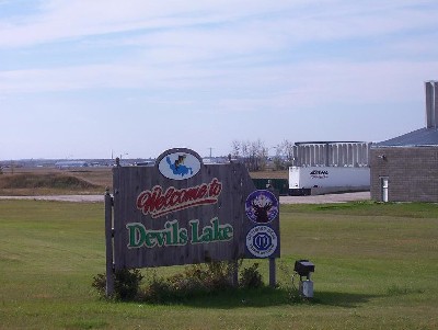
On the Devil’s Lake Sioux Indian Reservation, the Indian population density of the service unit is approximately 1 person per square mile.
LOCATION
 The Fort Totten Service Unit is located in east central North Dakota and occupies Benson, Eddy, Nelson, and Ramsey counties. The service unit covers approximately 4,282 square miles. The Ft. Totten community which is the location of the health center and tribal government offices is approximately 200 miles from the Aberdeen Area Office.
ACCESS
The four major communities within the reservation, as well as Devils Lake, are connected by state maintained paved highways. Poorly maintained secondary roads and graveled county roads serve the smaller towns and rural homes.
Many of the residents own vehicles, many are unreliable models. Others usually have access to transportation
through relatives or friends who own automobiles. Elderly citizens are provided transportation by a tribally operated
Senior Citizen van. Community Health Representatives provide workday patient transportation only. No private carrier or transport service is available on the reservation. For this service, residents must travel to Devils Lake for bus, train, and airlines service.
The Fort Totten Service Unit serves 4,439 Indians of the Devils Lake Sioux Indian Reservation according to
the Indian Health Service (IHS) User Population Estimates for FY-1991. The 1992 Census population is 3,674, projected from the 1990 Census data. The Indian population density of the service unit is approximately 1 person per square mile.
Based on the 1980 Census information, which is the latest characteristic data available, the median age of the
service unit resident population is approximately 17 years old. This is 11.3 years younger than the North Dakota State median age of 28.3 and 13 years younger than the U.S. All Races median age of 30. The average number of persons per Indian family is 5.18, compared to 3.27 for North Dakota State and 3.8 for U.S. All Races.
The residents are scattered throughout the service unit with concentrations in the principal communities of
Fort Totten, St. Michael, Crow Hill, and Tokio/Wood Lake. Three small incorporated towns, Warwick, Harmor, and Oberon, within the reservation boundaries have primarily Indian populations. Thirteen (13) miles north of the reservation, within the Service Unit boundary, is Devils Lake, home to many Indian families and the major commercial center for reservation residents.
TOPOGRAPHY AND CLIMATE
On the north and west the reservation borders Devils Lake, North Dakota’s largest natural lake, the southern boundary is the Cheyenne River. Land along the lake and river is forested, beyond this the area consists primarily of rolling prairie hills with high quality farm and pasture land. The area climate is among the most extreme in the continental United States with temperatures falling below 30 F in the winter and summer temperatures ranging between 70 and 100 F. Rainfall is moderate, roughly averaging 25 inches per year.
HOUSING AND PUBLIC FACILITIES
Tribal low rent housing units, HUD homes, and mutual self-help homes exist in the four major reservation communities. Forty-five (45) HUD housing units were constructed and inhabited during the summer of 1988. Rural farmsteads consist of privately owned homes and mutual help scatter sites. Government quarters are maintained almost exclusively by the Bureau of Indian Affairs (BIA). IHS has few employee quarters, therefore, arrangements have been made to share existing BIA units with IHS and the Tribe. Rental and private purchase
housing, within commuting distance from Fort Totten, are available in Devils Lake.
In 1996, Tribal environmental staff identified the lack of a solid waste dump site as the major reservation environmental problem which may be hazardous to the health of reservation residents.